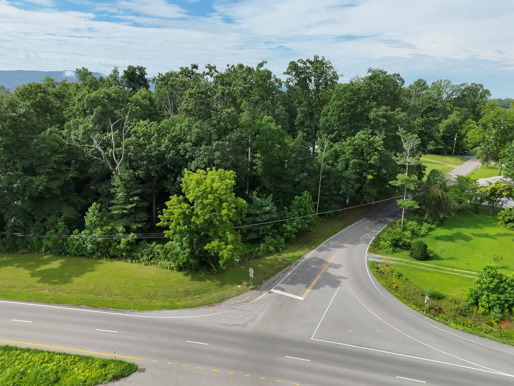
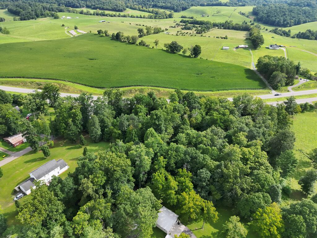
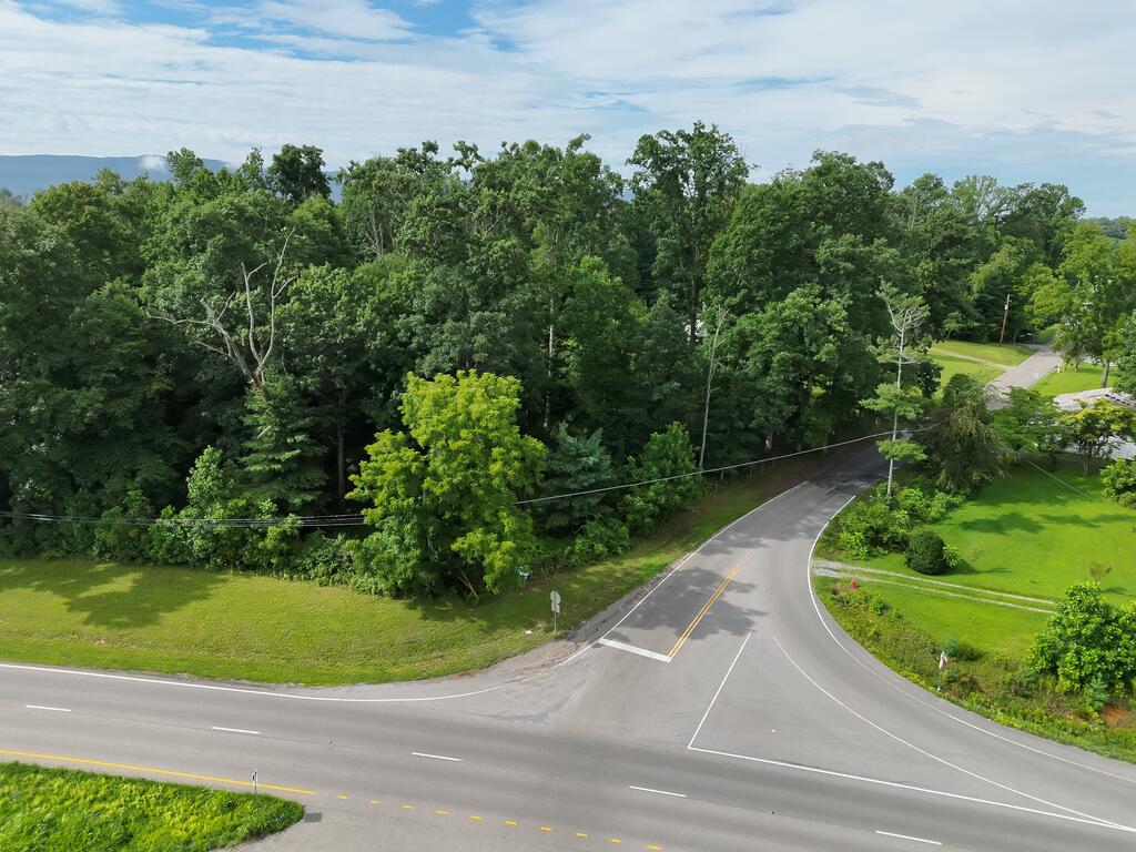
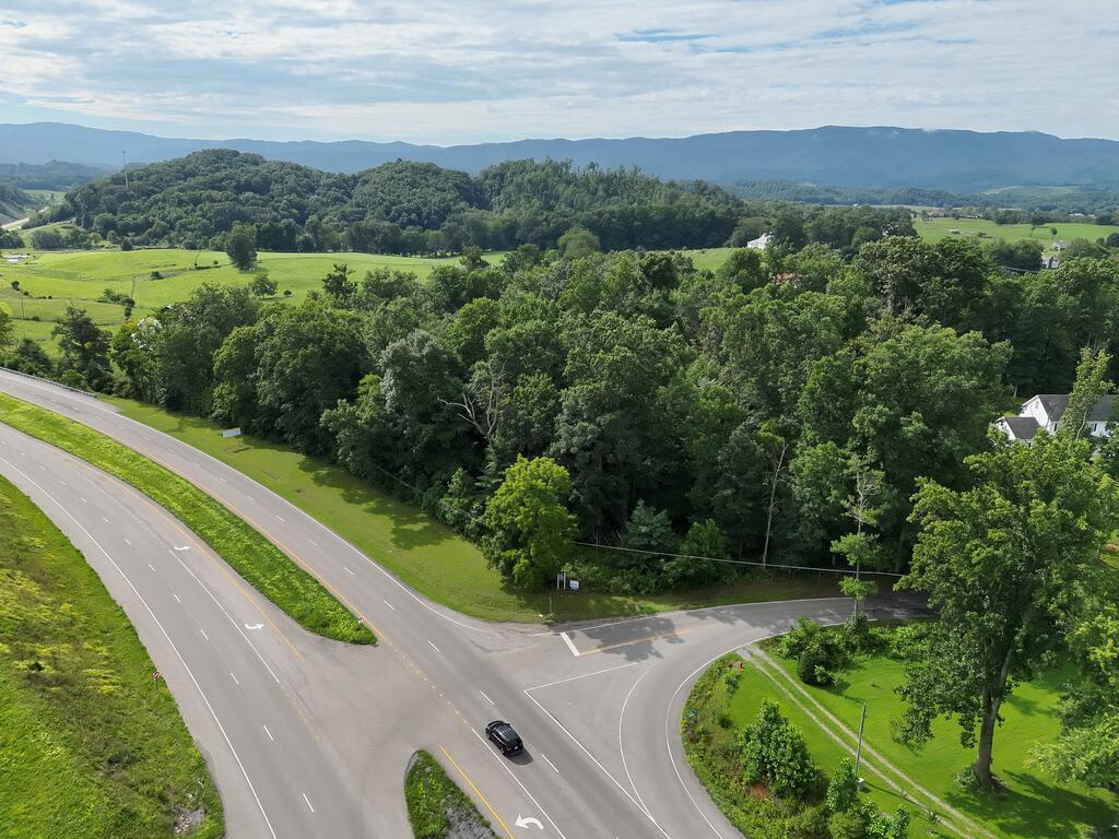
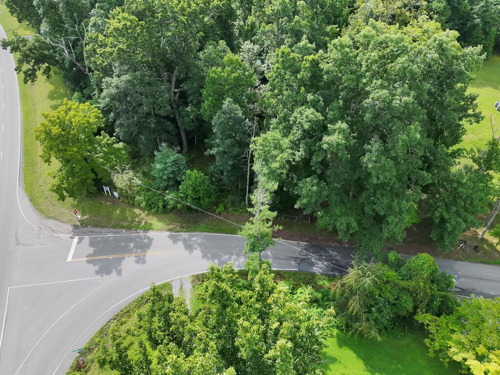
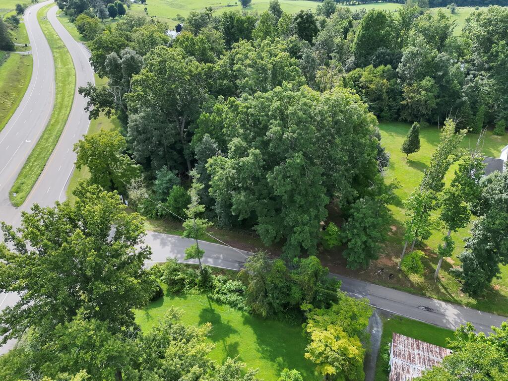
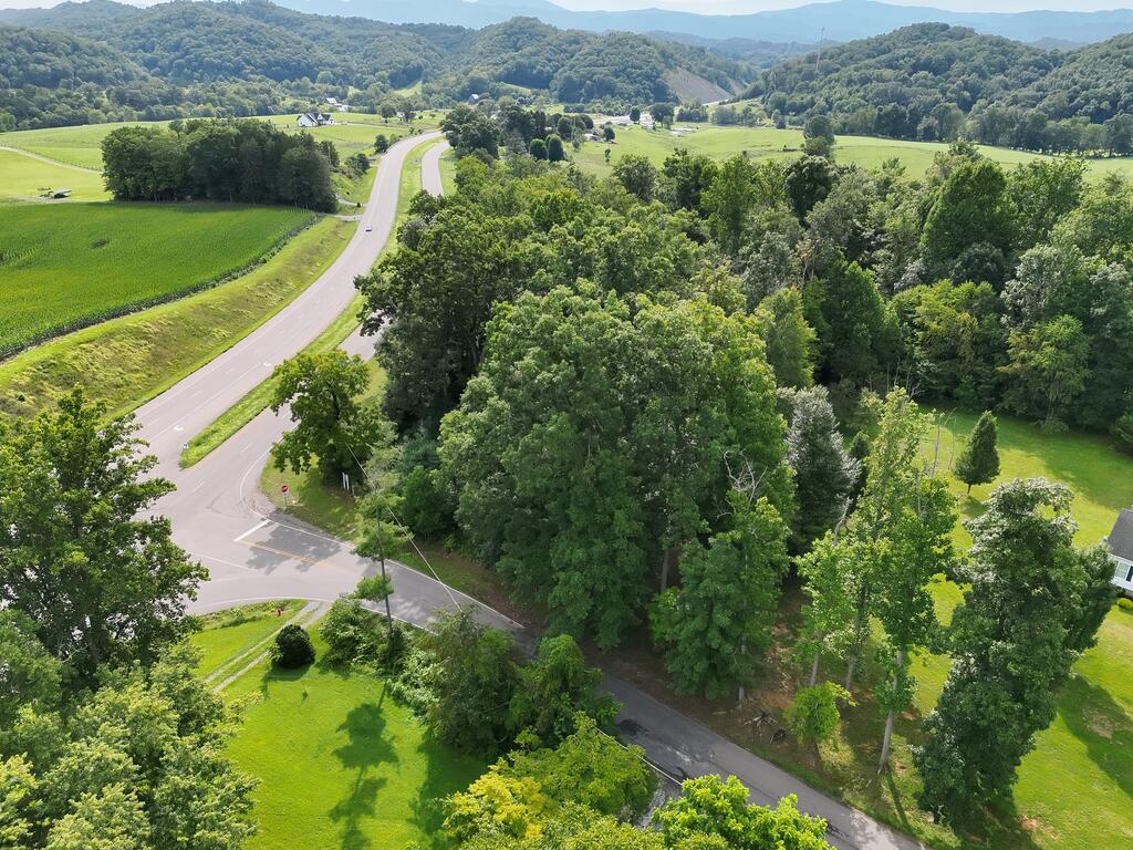
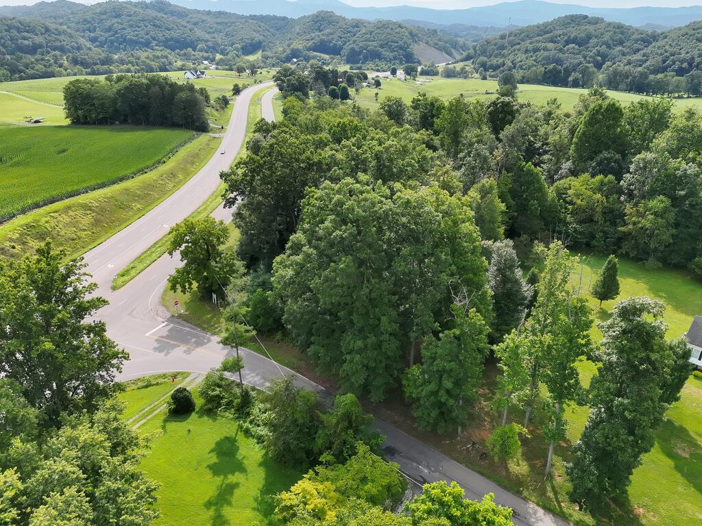
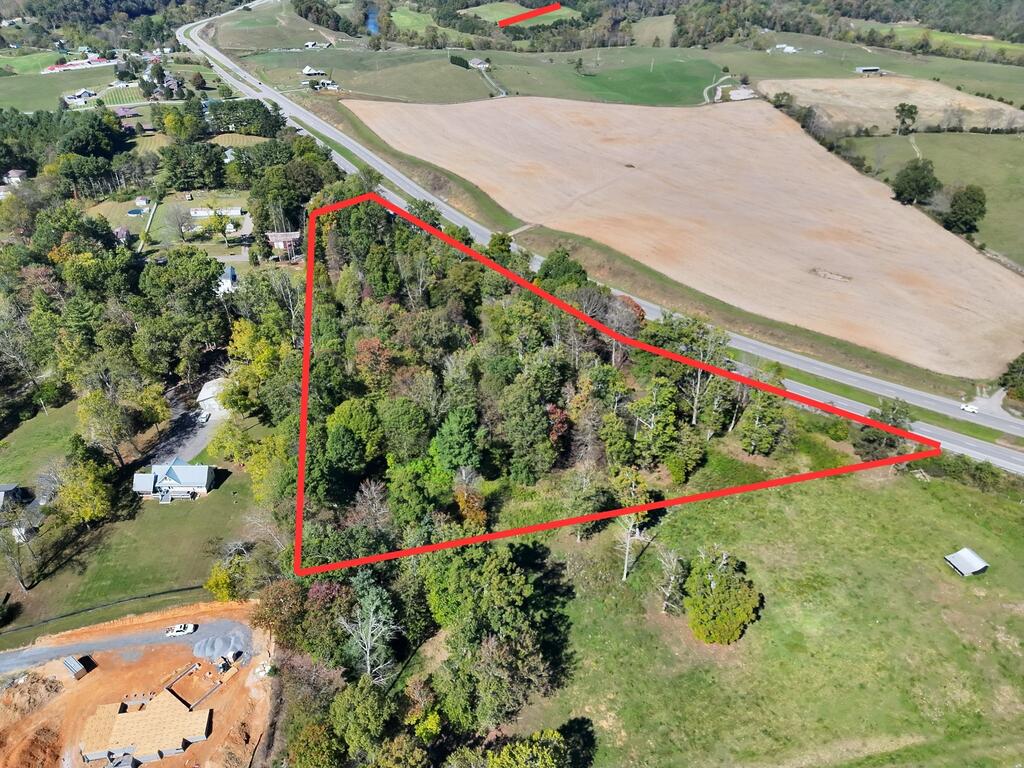
Aerial view of a wooded property beside a road intersection.
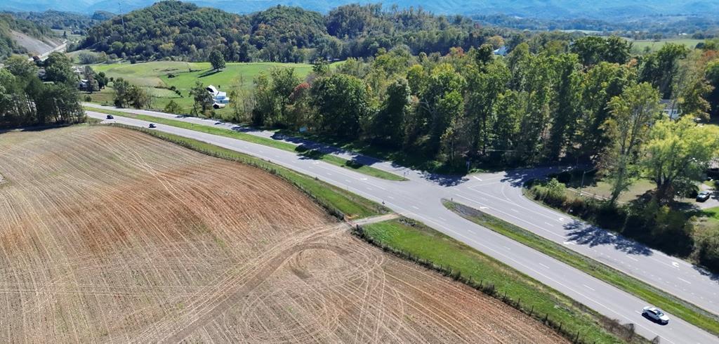
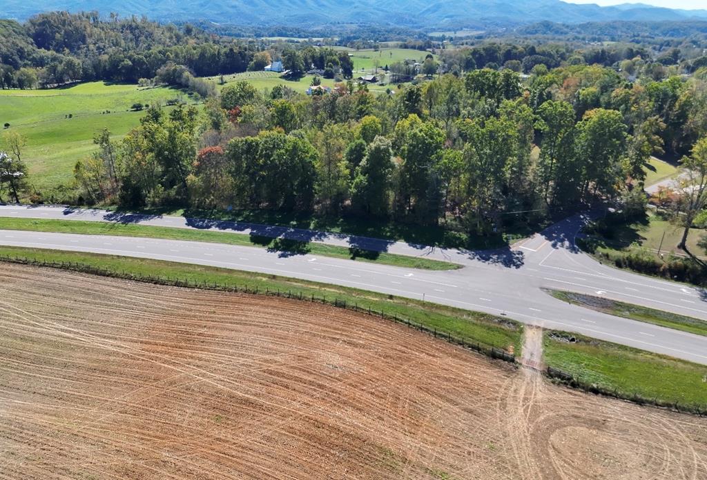
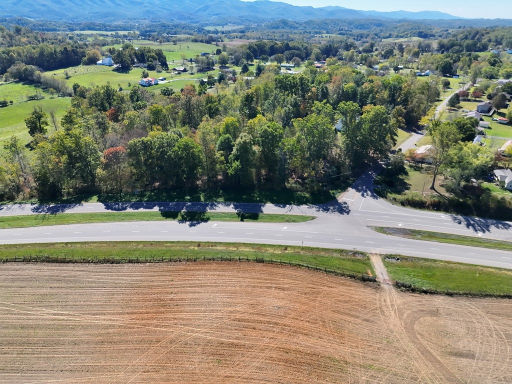
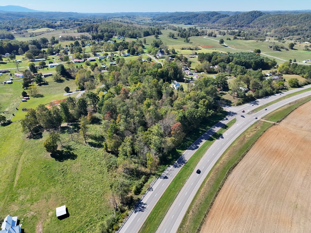
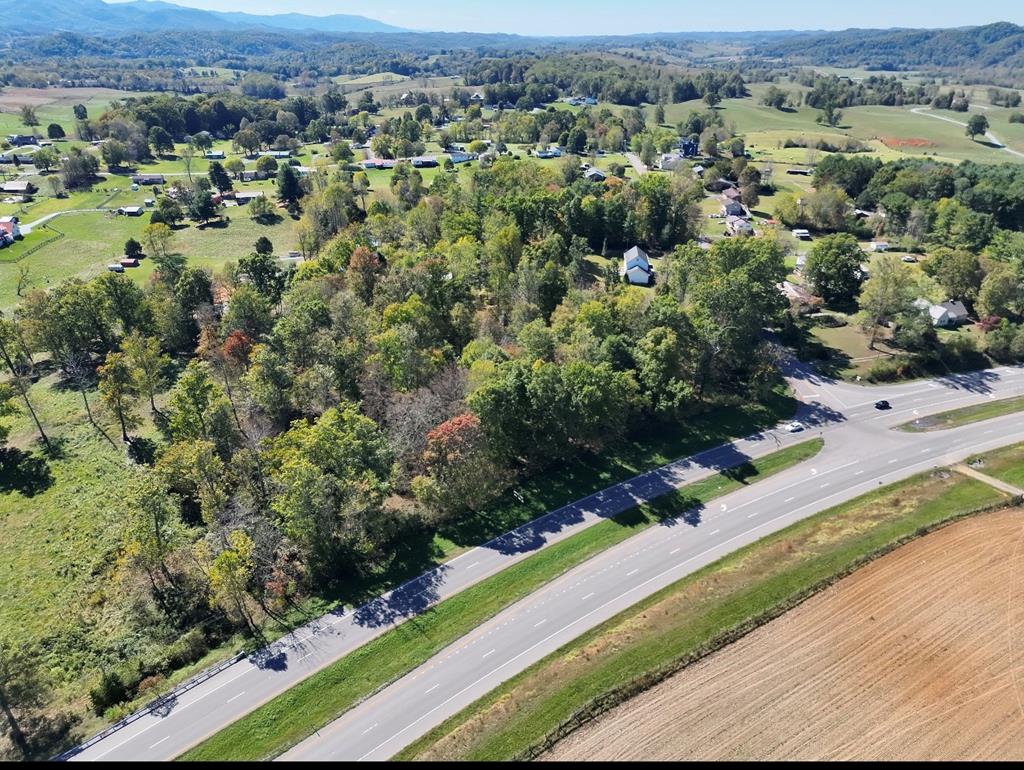
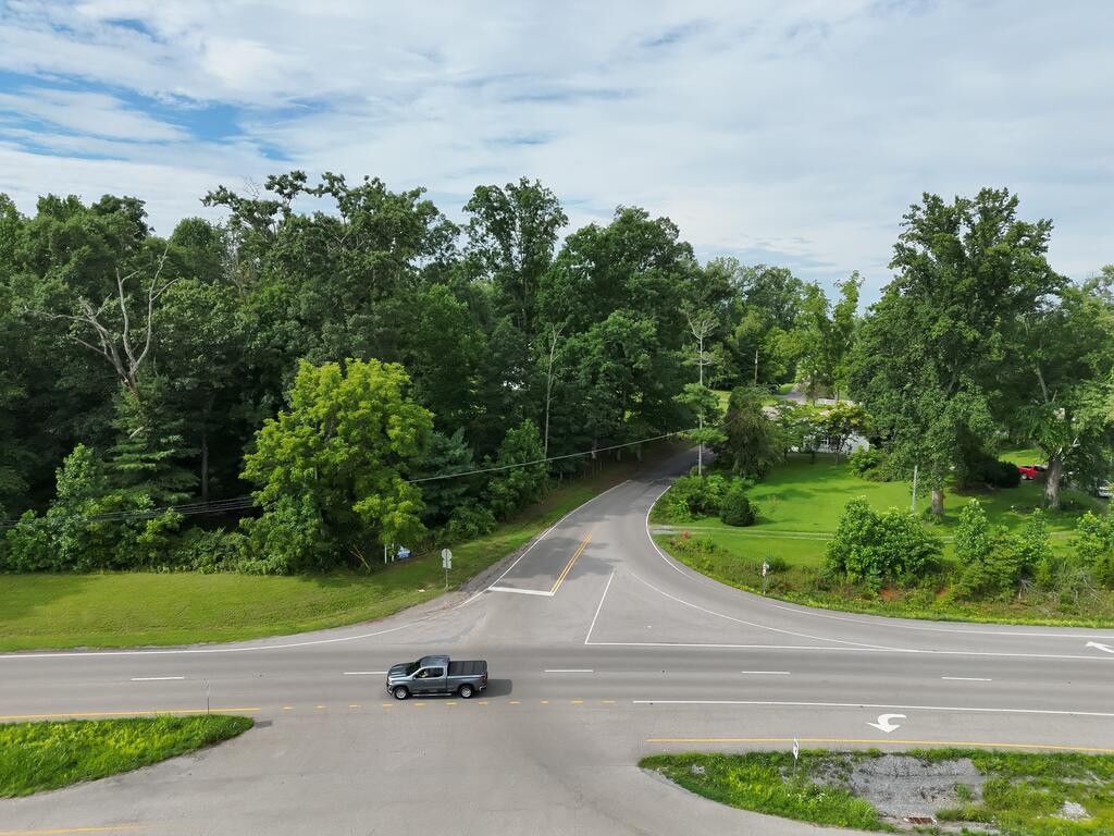
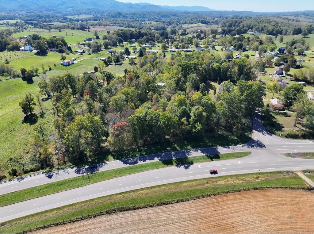
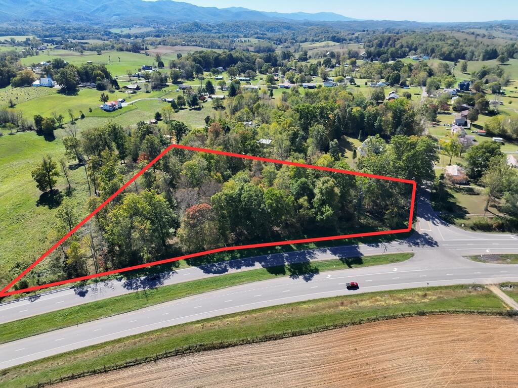
Aerial view of a harvested field beside a highway intersection, with wooded hills and distant mountains.
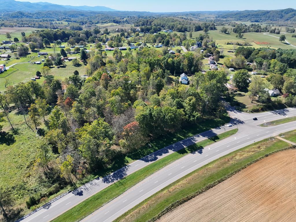
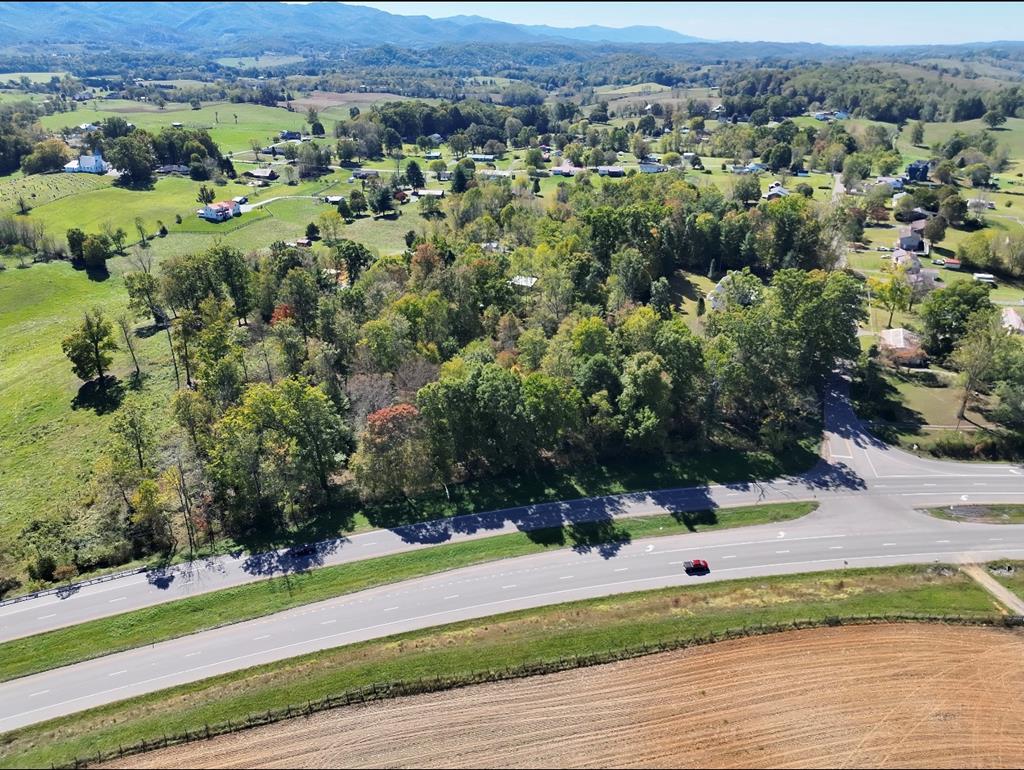
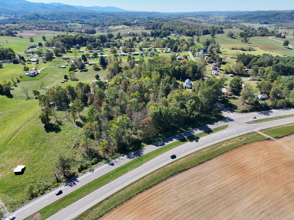
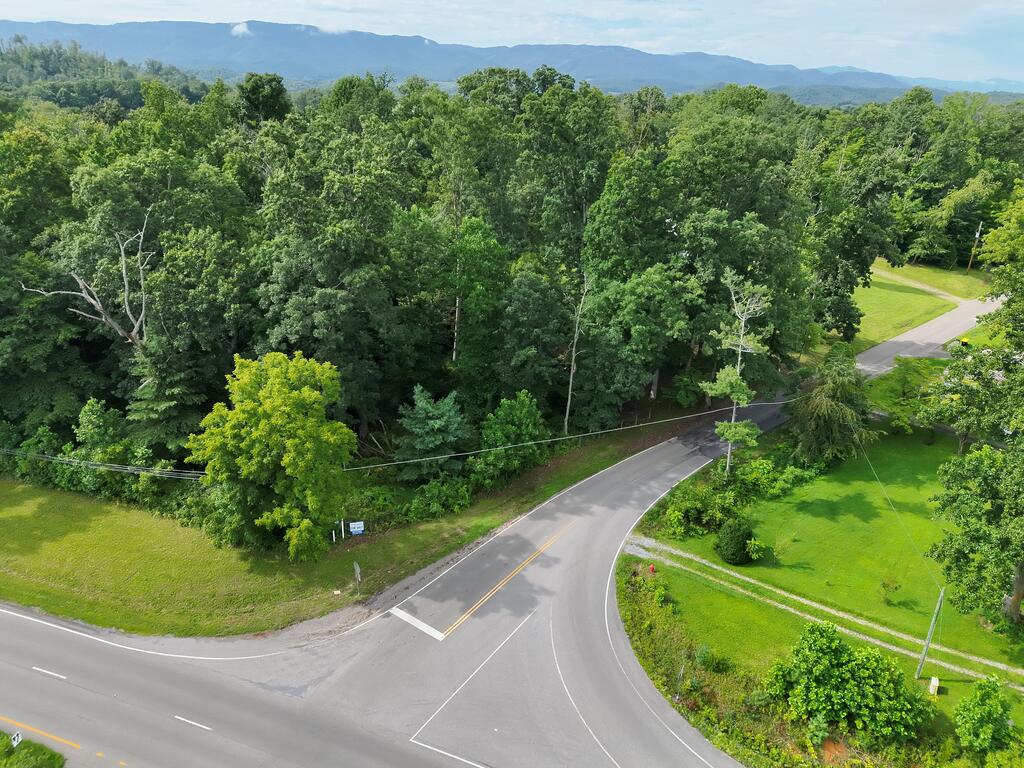
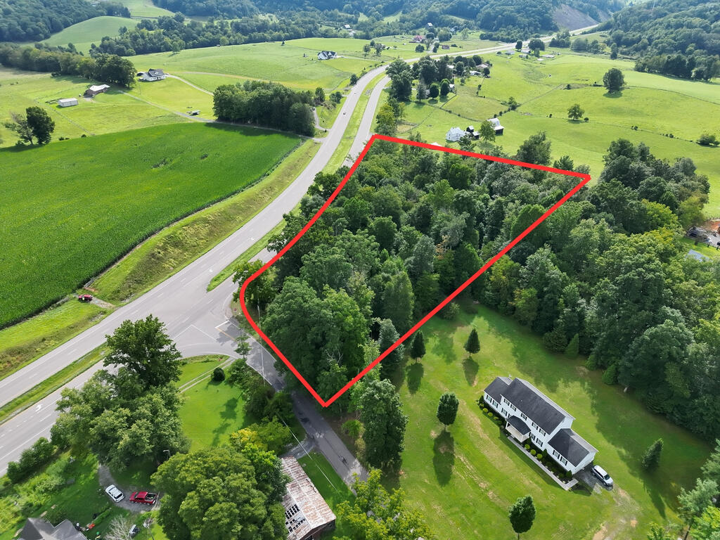
Aerial view of wooded land beside a highway, with rural homes, fields, and distant mountains.
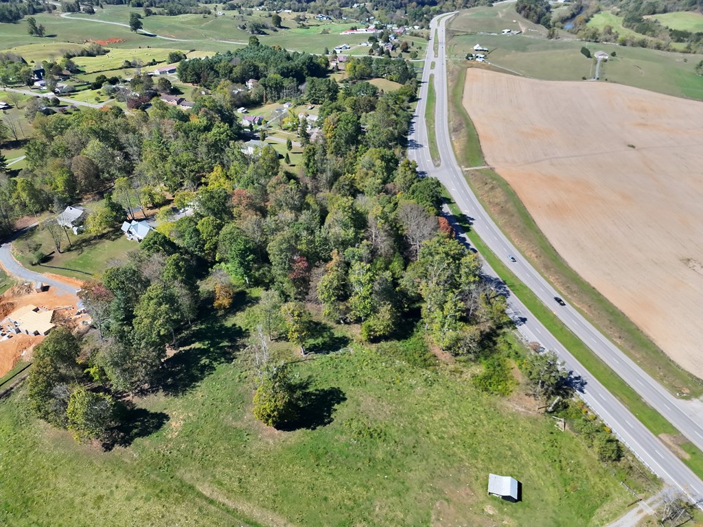
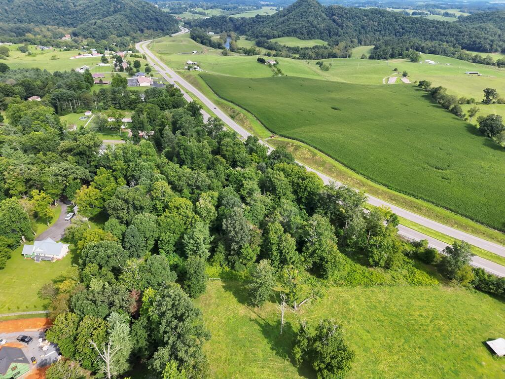
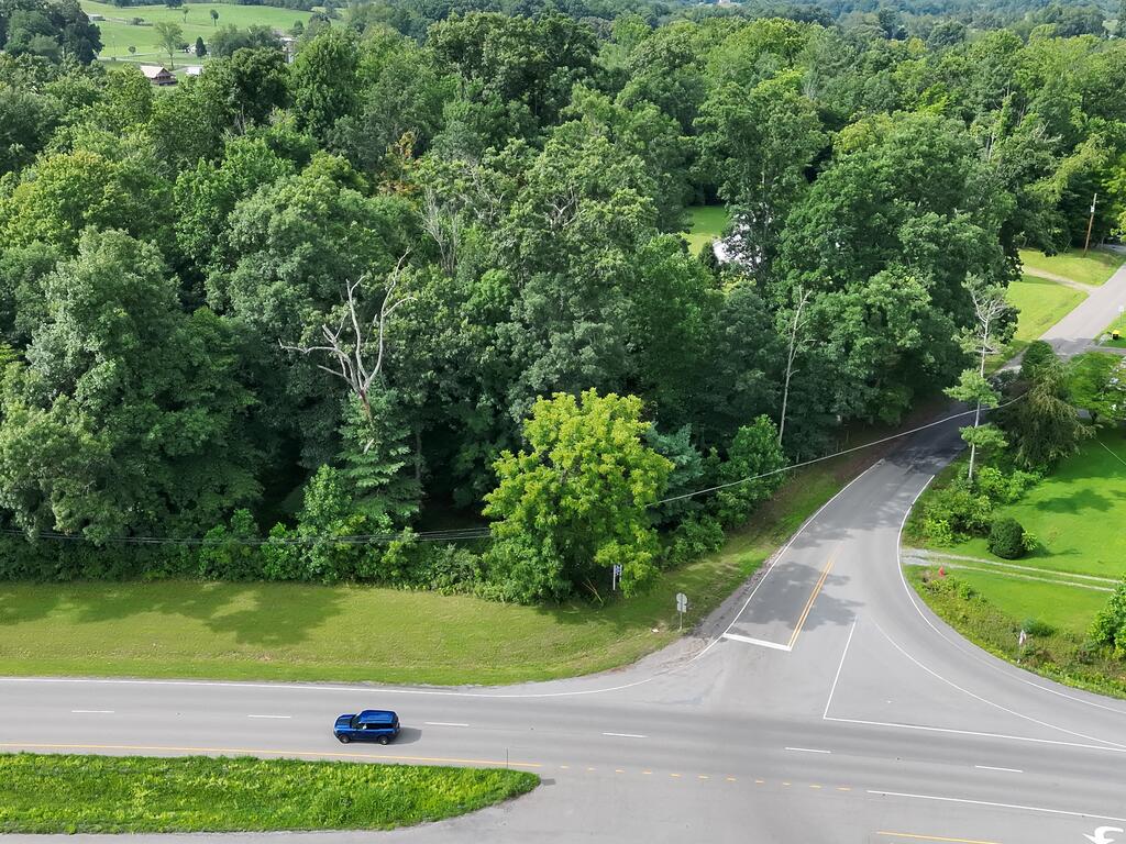
Aerial view of open rural land beside a highway, with wooded areas and rolling hills.
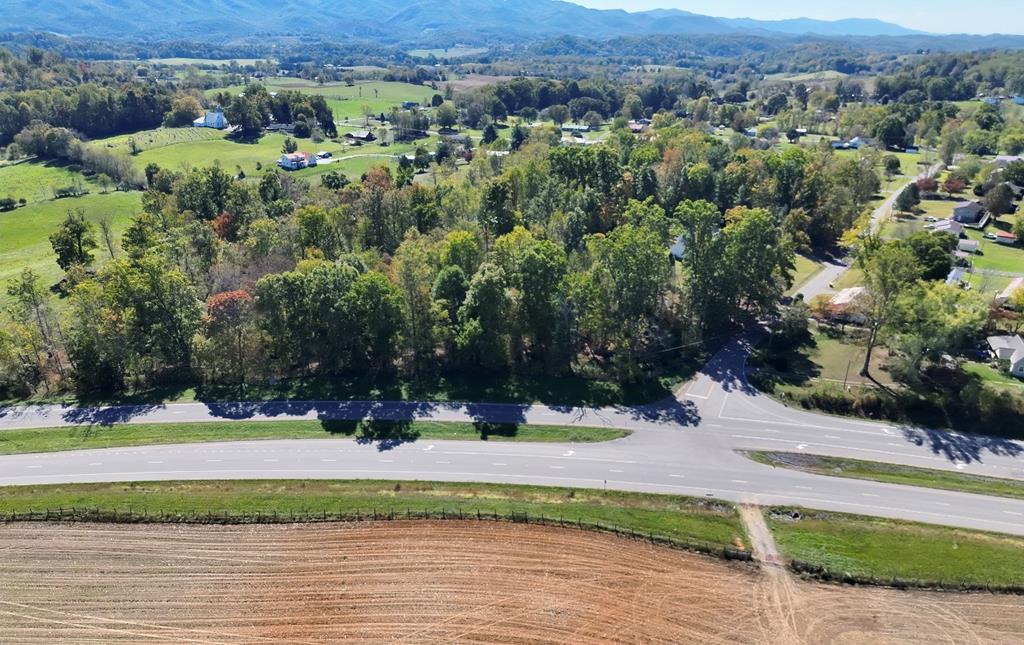
Rural land beside a highway intersection, with a plowed field and distant mountains.
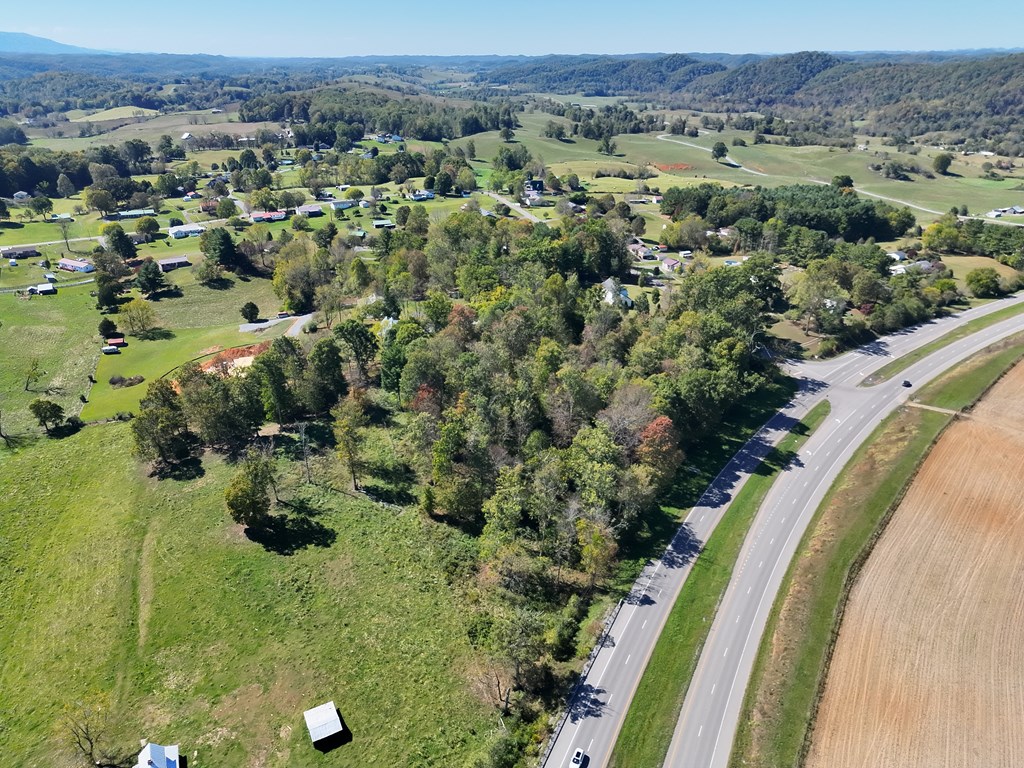
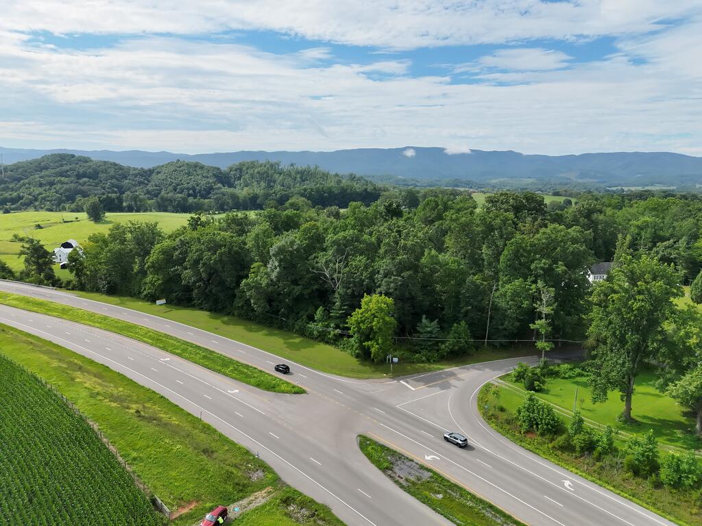
Aerial view of wooded rural land beside a highway, with open fields and distant mountain ridges.
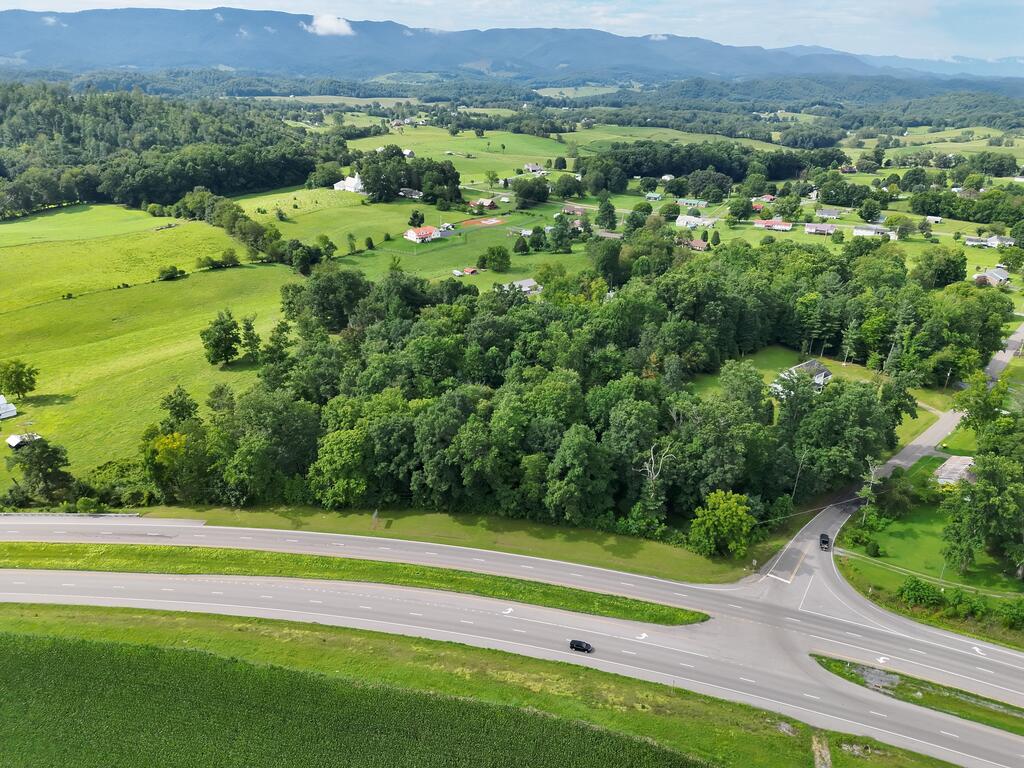
Aerial view of wooded rural land beside a highway intersection, with fields and distant mountains.
Vacant rural land with a grassy clearing and mature trees beside Highway 58.
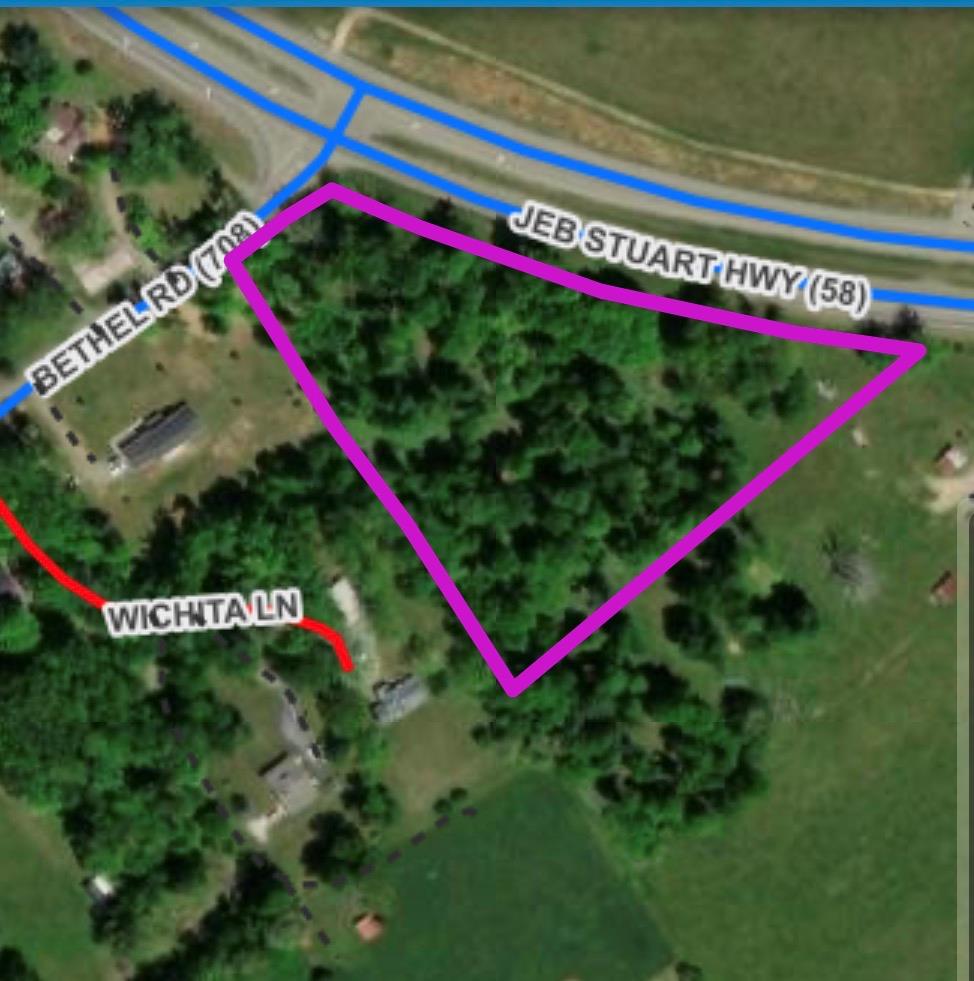
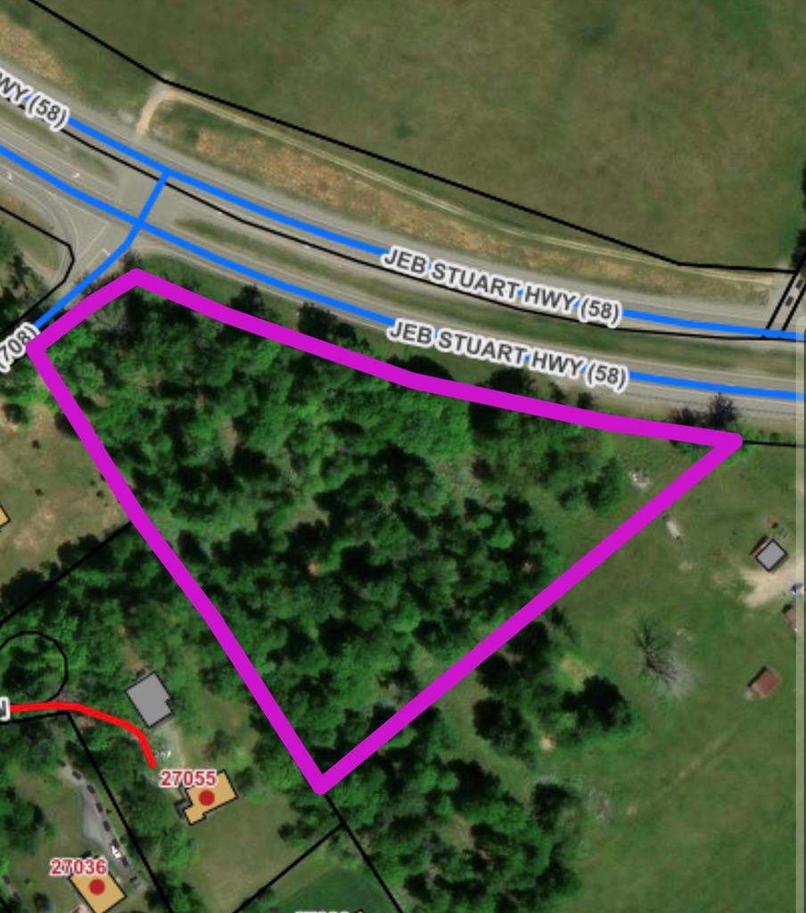
Aerial view of a wooded parcel outlined in purple along Jeb Stuart Highway and Bethel Road.
Rural land at a highway intersection, with a plowed field and distant mountain views.
Aerial view of vacant land beside a highway, with wooded areas and a large field nearby.
Aerial view of open rural land beside a highway, with wooded hills in the distance.
Wooded parcel outlined in magenta beside JEB Stuart Highway (58).
Aerial view of grassy and wooded land beside a divided highway, with distant mountain ridges.
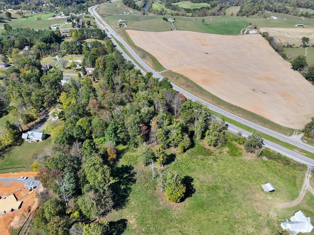
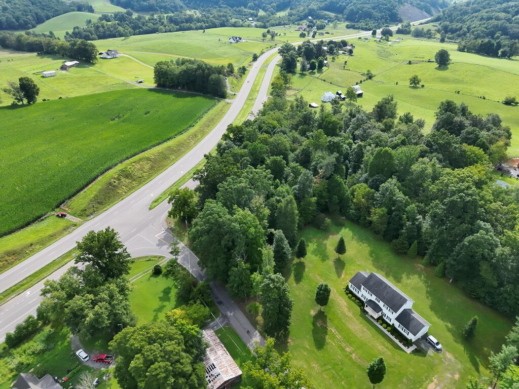
Aerial view of wooded rural land beside a highway, with fields, scattered homes, and rolling hills.
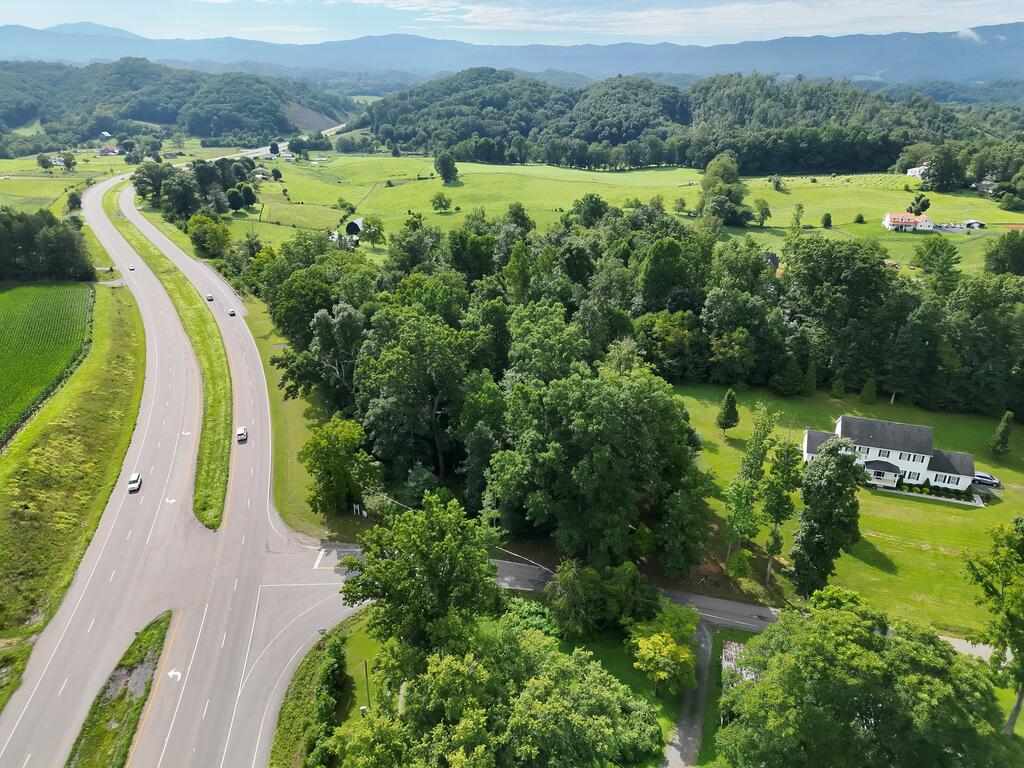
Aerial view of wooded rural land along a divided highway, with fields and distant mountains.
Aerial view of wooded land bordering a highway, with fields and distant mountains.
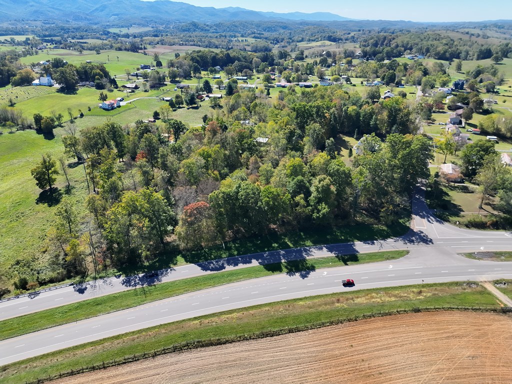
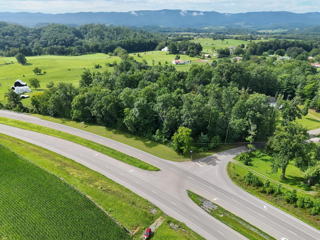
Aerial view of wooded land at a rural road intersection, with open fields and mountain ridges beyond.
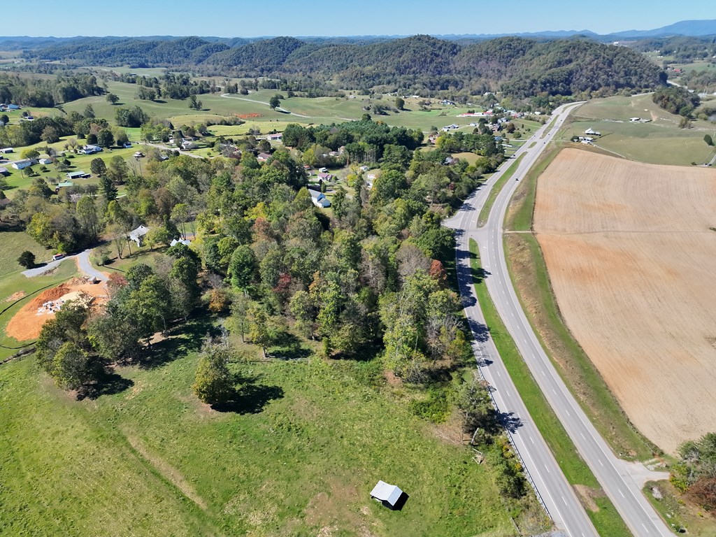
Aerial view of a divided highway through green fields and woods, with distant mountain ridges.
Aerial view of green rural land beside a highway intersection, with scattered homes and wooded hills.
Aerial view of green rural acreage beside a road, bordered by woods and rolling fields.
Aerial view of green fields beside a highway, with wooded hills and scattered homes.
Aerial view of wooded acreage beside a highway, with farmland and mountains beyond.
Aerial view of wooded land and fields beside a highway intersection, with distant mountain ridges.
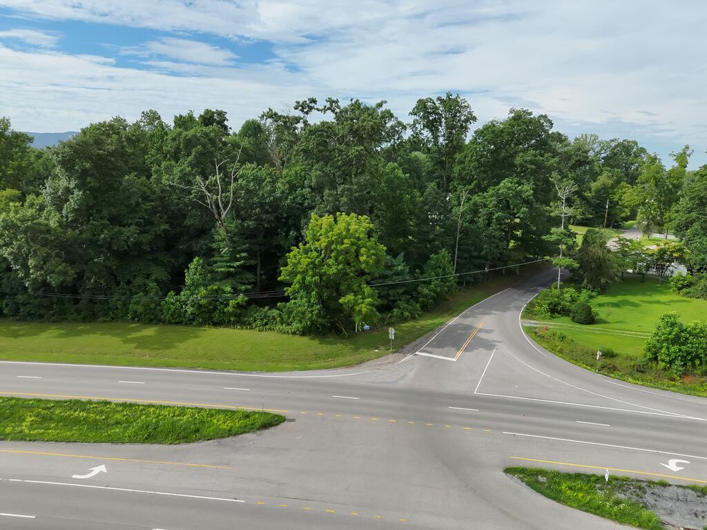
Wooded land at a road intersection, with grassy frontage and mature trees.
Aerial view of wooded land at the Bethel Road and Highway 58 intersection.
Wooded land parcel beside a road junction, with open grass and distant mountain ridges.
Aerial view of wooded land beside a grassy clearing at a highway intersection.
Aerial view of wooded land beside a highway intersection, with open fields and distant mountains.
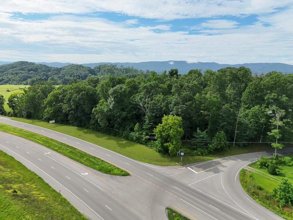
Aerial view of a wooded parcel bordered by roads at a highway intersection.
Aerial view of wooded property beside intersecting roads, with grassy clearings and surrounding trees.
Aerial view of wooded vacant land beside a road intersection, with green fields and mountain ridges beyond.
Aerial view of wooded land at a rural road intersection, with fields and distant hills.
Aerial view of wooded land beside a highway, with surrounding farmland and distant mountains.
Vacant grassy land beside a highway intersection, with wooded hills and distant mountains.
Aerial view of wooded land beside a road intersection, with grassy clearings and dense trees.
Aerial view of a wooded parcel outlined in red beside a rural highway.
Aerial view of wooded land outlined in red along a divided highway, with mountains in the distance.
Aerial view of a wooded parcel outlined in red beside a road junction and open fields.
SEE ALL PHOTOS
Aerial view of a wooded property beside a road intersection.
Aerial view of a harvested field beside a highway intersection, with wooded hills and distant mountains.
Aerial view of wooded land beside a highway, with rural homes, fields, and distant mountains.
Aerial view of open rural land beside a highway, with wooded areas and rolling hills.
Rural land beside a highway intersection, with a plowed field and distant mountains.
Aerial view of wooded rural land beside a highway, with open fields and distant mountain ridges.
Aerial view of wooded rural land beside a highway intersection, with fields and distant mountains.
Vacant rural land with a grassy clearing and mature trees beside Highway 58.
Aerial view of a wooded parcel outlined in purple along Jeb Stuart Highway and Bethel Road.
Rural land at a highway intersection, with a plowed field and distant mountain views.
Aerial view of vacant land beside a highway, with wooded areas and a large field nearby.
Aerial view of open rural land beside a highway, with wooded hills in the distance.
Wooded parcel outlined in magenta beside JEB Stuart Highway (58).
Aerial view of grassy and wooded land beside a divided highway, with distant mountain ridges.
Aerial view of wooded rural land beside a highway, with fields, scattered homes, and rolling hills.
Aerial view of wooded rural land along a divided highway, with fields and distant mountains.
Aerial view of wooded land bordering a highway, with fields and distant mountains.
Aerial view of wooded land at a rural road intersection, with open fields and mountain ridges beyond.
Aerial view of a divided highway through green fields and woods, with distant mountain ridges.
Aerial view of green rural land beside a highway intersection, with scattered homes and wooded hills.
Aerial view of green rural acreage beside a road, bordered by woods and rolling fields.
Aerial view of green fields beside a highway, with wooded hills and scattered homes.
Aerial view of wooded acreage beside a highway, with farmland and mountains beyond.
Aerial view of wooded land and fields beside a highway intersection, with distant mountain ridges.
Wooded land at a road intersection, with grassy frontage and mature trees.
Aerial view of wooded land at the Bethel Road and Highway 58 intersection.
Wooded land parcel beside a road junction, with open grass and distant mountain ridges.
Aerial view of wooded land beside a grassy clearing at a highway intersection.
Aerial view of wooded land beside a highway intersection, with open fields and distant mountains.
Aerial view of a wooded parcel bordered by roads at a highway intersection.
Aerial view of wooded property beside intersecting roads, with grassy clearings and surrounding trees.
Aerial view of wooded vacant land beside a road intersection, with green fields and mountain ridges beyond.
Aerial view of wooded land at a rural road intersection, with fields and distant hills.
Aerial view of wooded land beside a highway, with surrounding farmland and distant mountains.
Vacant grassy land beside a highway intersection, with wooded hills and distant mountains.
Aerial view of wooded land beside a road intersection, with grassy clearings and dense trees.
Aerial view of a wooded parcel outlined in red beside a rural highway.
Aerial view of wooded land outlined in red along a divided highway, with mountains in the distance.
Aerial view of a wooded parcel outlined in red beside a road junction and open fields.
For Sale

TBD Bethel Rd & Hwy 58

TBD Bethel Rd & Hwy 58, Abingdon, VA 24211

$395,000
Corner of Highway 58 & Bethel Road Abingdon VA A rare opportunity to own 4.116 acres at the prominent corner of Highway 58 and Bethel Road in Washington County, Virginia. Located in the well-known Bethel Woods area, this beautiful, mostly level wooded tract offers outstanding visibility, easy access, and tremendous future potential. With public electricity and water available, the property's level topography provides an excellent setting for a private estate, multiple homesites, or future investment. The size and layout offer the potential to be subdivided into multiple lots, subject to county approval. Its prime corner location along Highway 58 also presents an exciting opportunity for buyers to explore future commercial rezoning possibilities with Washington County. Conveniently located just minutes from the Town of Damascus, the Virginia Creeper Trail, the Appalachian Trail, historic downtown Abingdon, local wineries, shopping, restaurants, healthcare, and Interstate 81 at Exit 19, this property is ideally positioned for recreation, investment, and future growth. Whether you're seeking a premier residential development opportunity, investment property, or a strategic location for future growth, this tract combines location, accessibility, and versatility in one exceptional offering.

4.12 Acres lot

Karen Raines

Karen Raines

Features & Amenities

Area & Lot

  • Status For Sale
  • Lot Area4.12 Acres
  • MLS® ID111220
  • TypeLand
  • NeighborhoodAbingdon
  • Elementary SchoolRhea Valley
  • Middle SchoolDamascus
  • High SchoolHolston

Exterior

  • utilitiesElectricity Available, Water Available, Sewer Available
  • lot featuresCan Be Divided, Corner Lot, Views, Wooded
  • sewerUnknown

Financial

  • Sales Price$395,000
  • Real Estate Tax $124/yr
  • Zoning R
View Virtual Tour
Aerial view of a harvested field beside a highway intersection, with wooded hills and distant mountains.

Schedule a Showing

We would love to show you our beautiful property. Please select your preferred date and time below. An agent will be in touch shortly to confirm your appointment.

Schedule a Showing

We would love to show you our beautiful property. Please select your preferred date and time below. An agent will be in touch shortly to confirm your appointment.

Thank you for your interest in TBD Bethel Rd & Hwy 58, Abingdon, VA 24211. We are reviewing your request and will be in touch shortly!

Mortgage Calculator

Estimate your monthly mortgage payment, including the principal and interest, property taxes, and HOA. Adjust the values to generate a more accurate rate.

All estimates are provided for informational purposes only. Actual amounts may vary.
$0,000 Your Payment 20 15 65
$0,000 Your Payment

Abingdon

Explore

Your Trusted Real Estate Partners

With deep local knowledge and a hands-on approach, we help our clients make confident decisions and achieve results they can trust.

Follow Me on Instagram